README
Mars HiRISE Terrain Survey
experimentNo. 0036categoryRides & explorationrecordingpendingdataCC BY 4.0
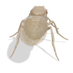
The fly, enlarged to tens of metres, walks a looping five-stop survey route across Martian terrain built from published HiRISE stereo elevation models and aligned orthoimages.
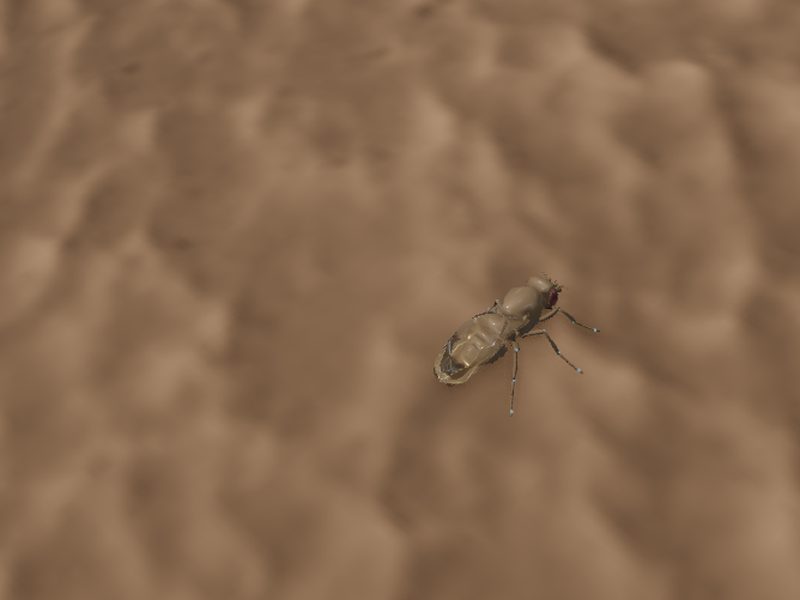
Recording pending publication. Follow along for the release.
Setup
- Two sites: glaciers and brain terrain (ESP_033165_2195 / ESP_032875_2195) and a second terrain tile from PSP_006633_2010 / PSP_007556_2010.
- Each tile is an approximately 2 km square crop: a 257 × 257 elevation grid and a 2048 × 2048 orthoimage, verified by SHA-256 checksum on load.
- One scene unit equals 50 terrain metres; terrain has no vertical exaggeration.
- Survey tour or manual W/A/S/D traverse; clicking the survey map relocates the fly; speeds from 5 to 100 m/s.
- Survey, Follow fly, Surface eye and Topography cameras.
Measurement
- Optional live neural input submits 32 luminance columns of the canonical eye image to the fixed connectome model.
- Navigation and gait are pre-programmed; measured spikes do not select the route, update weights or train a skill.
- Live windows are transient and are not exported as trial records.
Limitations
- Stereo reconstruction can contain seams, interpolation artifacts and poorly constrained surfaces; the display is for exploration, not precision geological measurement.
- Rust coloration is a rendered tint over a monochrome RED orthoimage, not measured true color.
- Gravity, atmosphere, contact forces and individual tarsal physics are not modeled.